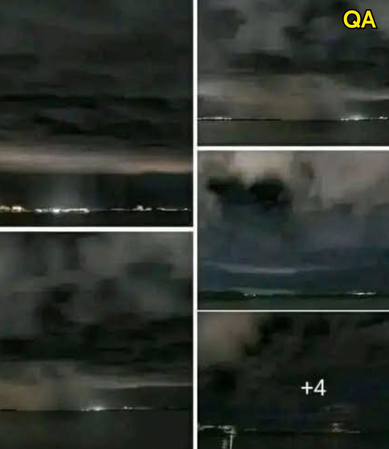
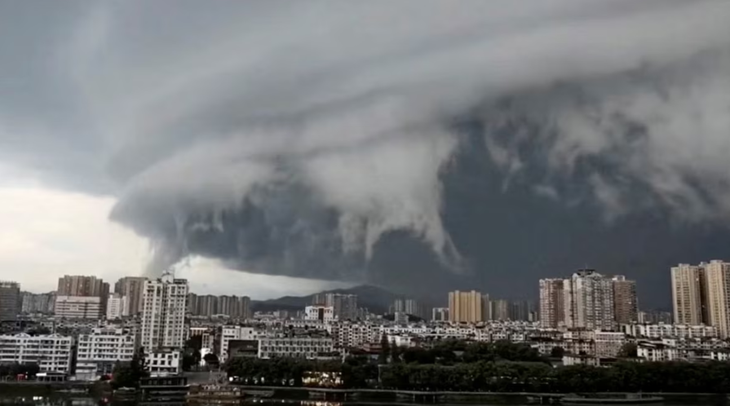
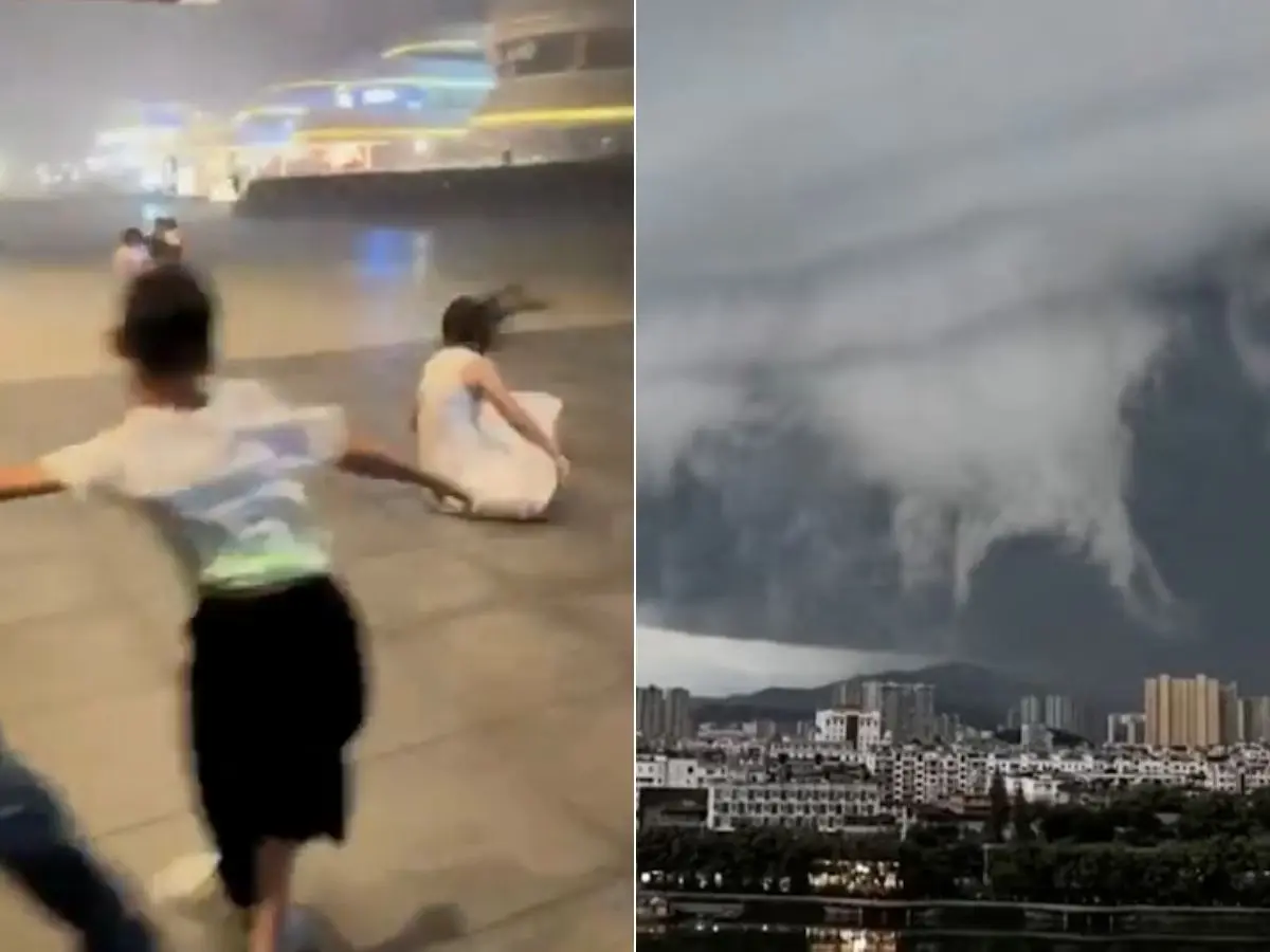
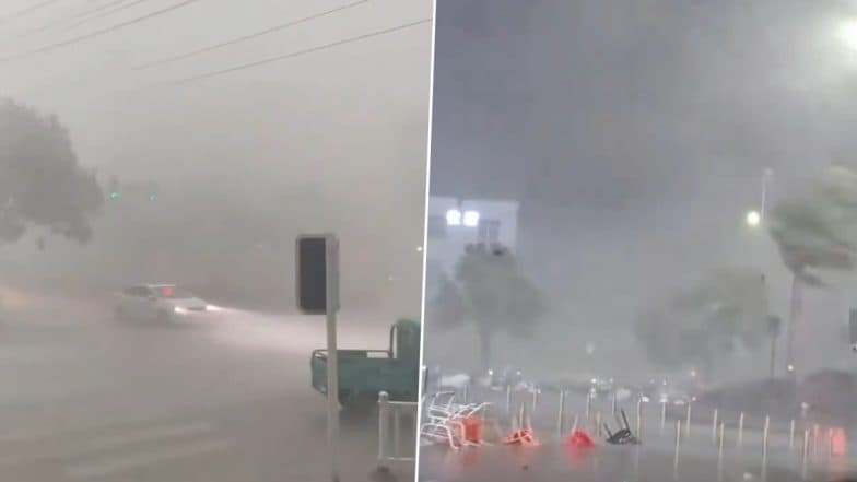
As Typhoon Wipha approached southern China, residents in coastal areas looked up to witness something extraordinary. Stretching across the horizon was what many described as a “wall of clouds,” a massive, dark formation that appeared to roll forward like a solid barrier in the sky.
Videos captured in regions such as Hainan and Guangdong quickly spread online. In cities like Zhuhai, the approaching cloud mass created an almost cinematic atmosphere, prompting comparisons to scenes from disaster films.
But while the visuals felt surreal, the phenomenon itself has scientific explanations rooted in atmospheric dynamics.

What Is a “Cloud Wall”?
The so-called “cloud wall” is not a literal wall, but rather a dense formation of storm clouds, often associated with powerful weather systems like typhoons.
Meteorologists explain that these formations are typically part of a larger structure known as a shelf cloud or arcus cloud. These clouds form along the leading edge of a storm system, where cooler air pushes beneath warmer air, forcing it upward.
This rapid uplift creates a thick, layered cloud that can appear:
Dark and heavy
Low to the ground
Uniform and stretching across the horizon
To observers, especially from a distance, it can resemble a moving wall.
The Science Behind Typhoon Wipha
Typhoon Wipha was one of several major storms in the region that year. As it approached land, it intensified atmospheric activity across southern China.
According to meteorological agencies such as the China Meteorological Administration, the storm made landfall in Guangdong province before continuing inland and later moving toward the Gulf of Tonkin.
Typhoons are complex systems fueled by warm ocean water. As they approach land, they often interact with changing air masses, terrain, and coastal conditions. These interactions can produce dramatic cloud formations like the one observed.
Why the Sky Looked So Dramatic
Several factors contributed to the striking appearance of the cloud formation:
1. Light and Shadow
The angle of sunlight, especially during early morning or late afternoon, can enhance contrast between cloud layers. Dark storm clouds block light, while surrounding areas remain illuminated, creating a sharp visual boundary.
2. Moisture and Density
High humidity levels increase cloud thickness. When combined with strong winds, this can produce a dense, continuous cloud front.
3. Perspective
From ground level, a long horizontal cloud can appear vertical due to distance and viewing angle. This optical effect makes the formation seem like a towering wall.
Public Reactions and Cultural Interpretation
Events like this often spark strong reactions. Many people describe feelings of awe, curiosity, and even unease when witnessing such unusual skies.
Culturally, dramatic weather has long been associated with symbolism. In some traditions, dark clouds signal change or transformation. In modern times, comparisons to movies or fictional scenes reflect how media shapes perception.
However, experts emphasize that while the visuals may seem extraordinary, they are natural and explainable phenomena.
The Importance of Weather Awareness
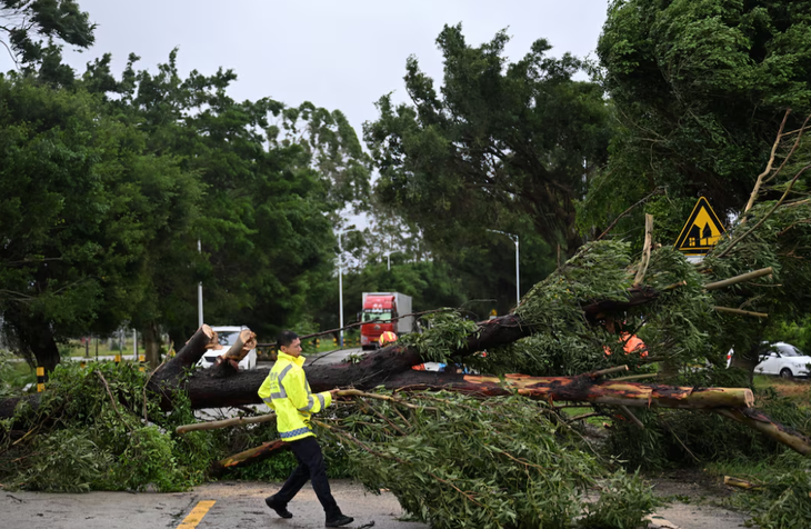
While the cloud formation itself is visually striking, it also serves as a reminder of the power of approaching storms.
Typhoons like Wipha can bring:
Heavy rainfall
Strong winds
Coastal flooding
Disruptions to daily life
Authorities often issue alerts in advance, encouraging residents to prepare and stay informed.
Organizations such as the World Meteorological Organization highlight the importance of early warning systems in reducing risk and improving safety during extreme weather events.
&imwidth=800&imheight=600&format=webp&quality=medium)
From China to Vietnam: The Storm’s Path
After making landfall in China, Typhoon Wipha moved into the Gulf of Tonkin and was forecast to impact northern Vietnam, including coastal areas such as Hai Phong and Thanh Hoa.
This regional movement is typical for storms in the western Pacific, where weather systems can affect multiple countries in a short period.
Monitoring and cooperation between meteorological agencies play a crucial role in tracking these paths and providing timely updates.
Why Moments Like This Go Viral
In today’s digital world, unusual natural events are quickly captured and shared. The “cloud wall” became widely viewed because it combined:
A rare visual effect
A sense of scale and movement
The context of an approaching storm
These elements make such moments highly engaging, encouraging people to share and discuss what they see.
At the same time, viral content can sometimes amplify the sense of mystery. Scientific explanations help ground these experiences in reality.
A Reflection on Human Curiosity
The sight of a massive cloud formation rolling across the sky reminds us how powerful and dynamic nature can be. Even in an age of advanced forecasting and technology, moments like these still inspire wonder.
Human curiosity drives us to capture, share, and understand what we see. We look for meaning, ask questions, and seek explanations.
In the end, the “wall of clouds” is not just a visual spectacle. It is a reminder that the natural world continues to surprise us, offering both beauty and lessons about the forces that shape our environment.
By combining curiosity with knowledge, we can appreciate these moments not only for their appearance, but also for the science behind them.
Sources
China Meteorological Administration. Typhoon tracking reports
World Meteorological Organization. Tropical cyclone guidelines
NASA Earth Observatory. Cloud formation and atmospheric science
Reuters. Coverage of Typhoon Wipha impacts
Tuổi Trẻ. Regional reporting on storm developments