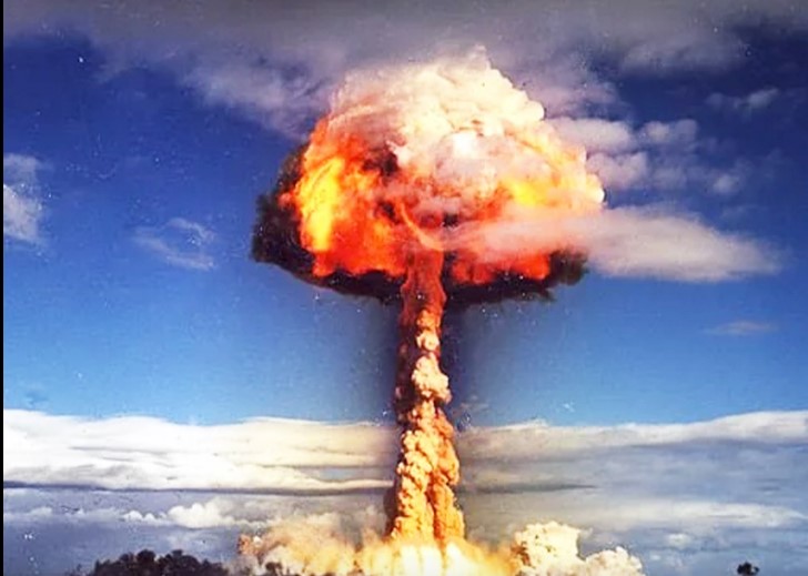
Concerns about global conflict periodically resurface during moments of geopolitical tension. Following recent military developments involving the United States, Israel, and Iran, public anxiety has once again centered on a familiar question: if a large-scale global war were to occur, particularly one involving nuclear weapons, would any part of the United States be safer than others?
This question echoes Cold War–era fears, when civil defense campaigns such as “duck and cover” drills sought to prepare Americans psychologically for the possibility of a nuclear strike. While today’s strategic landscape differs significantly from that of the 20th century, the underlying uncertainties remain.
This article examines what reputable sources—including defense analysts, academic researchers, and federal agencies—have stated about U.S. nuclear infrastructure, potential target areas, radiation modeling, and long-term global risks. It also clarifies what “lower risk” actually means in scientific and strategic terms.
Rising Tensions and Nuclear Claims
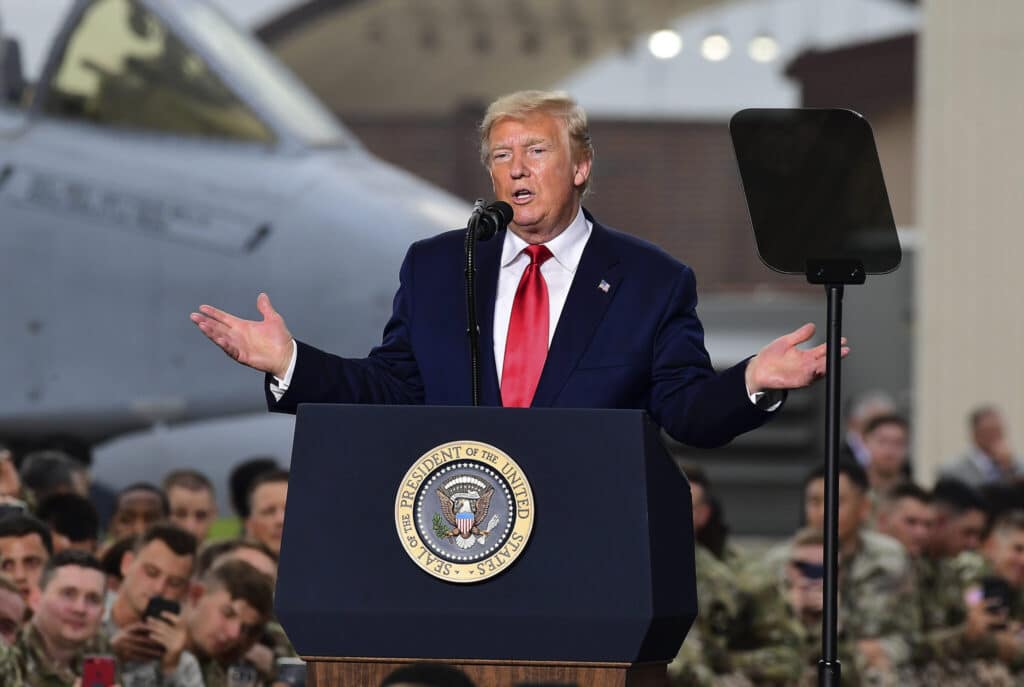
Recent tensions have intensified discussion about escalation risks. Statements from political leaders have included claims that Iran has advanced its nuclear program and missile capabilities. However, reporting by outlets such as The New York Times has noted that some of these assertions remain disputed or lack independent verification.
The International Atomic Energy Agency (IAEA) has consistently reported on Iran’s uranium enrichment levels and compliance issues under international monitoring frameworks. While enrichment beyond civilian thresholds has raised concern among Western governments, the IAEA has not publicly confirmed the existence of an operational nuclear weapon in Iran.
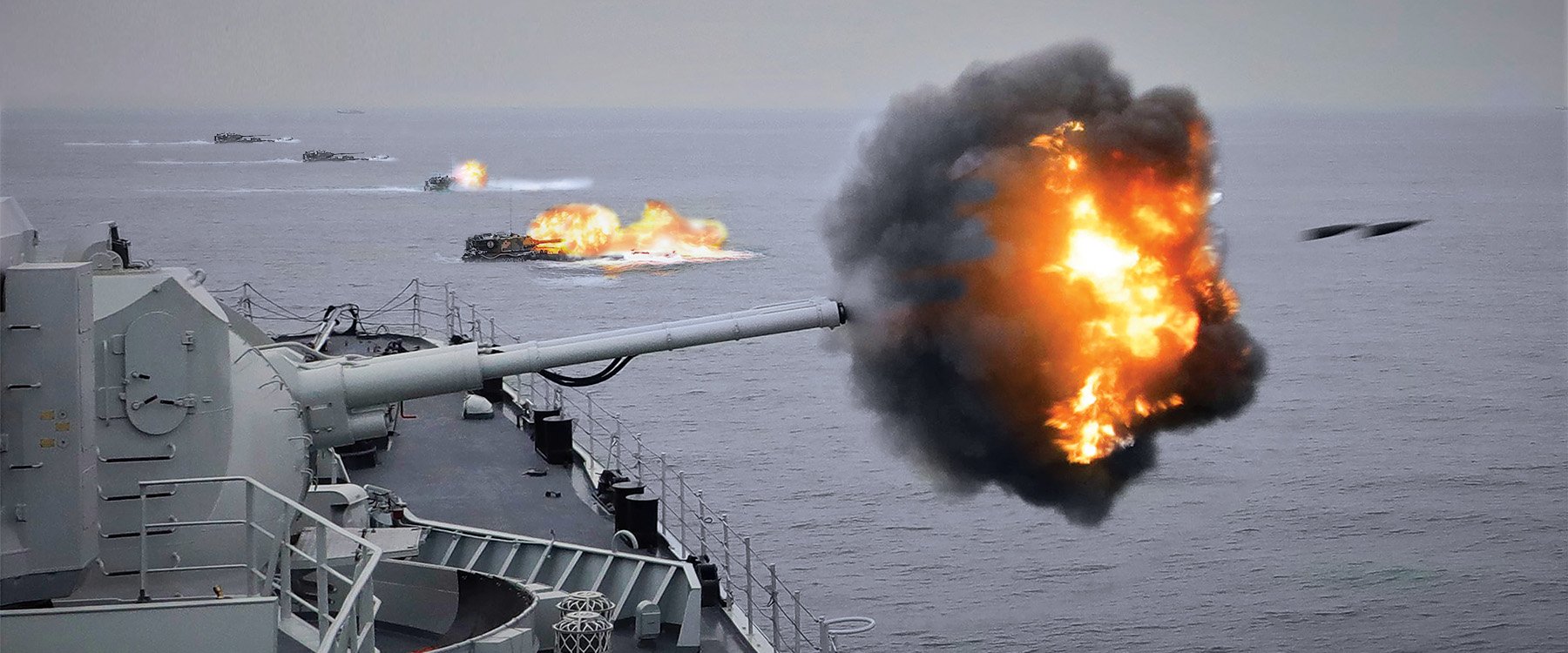
Defense analysts generally caution against assuming immediate nuclear escalation during regional conflicts. Historically, even during intense periods of U.S.–Iran tension, direct large-scale confrontation has been avoided.
Nevertheless, when public anxiety increases, so does interest in understanding how nuclear strategy works—and whether certain U.S. states would face higher or lower risks in a worst-case scenario.
America’s Nuclear Geography: Where Strategic Assets Are Located
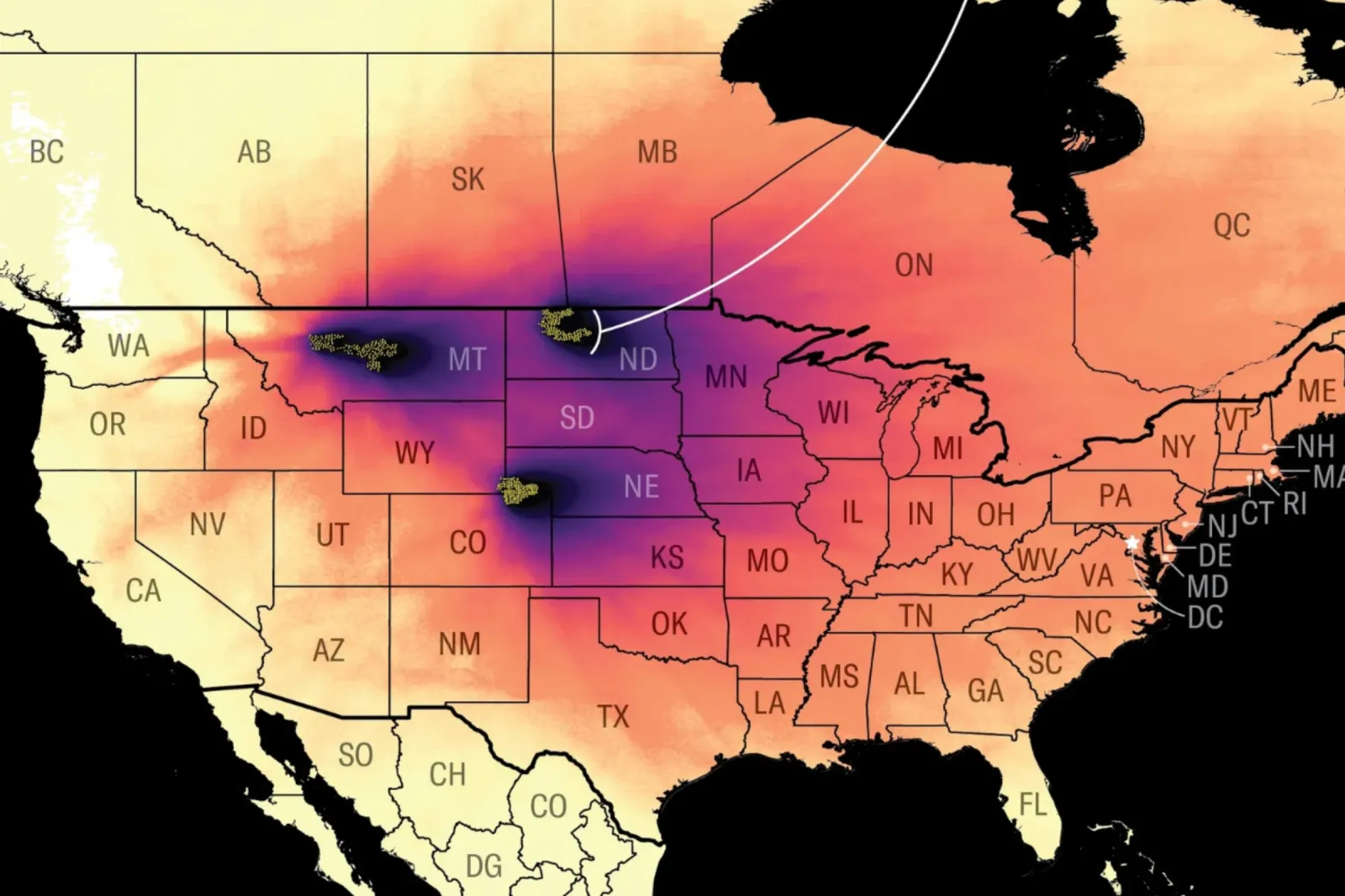
The United States maintains a nuclear deterrent composed of land-based intercontinental ballistic missiles (ICBMs), submarine-launched ballistic missiles, and strategic bombers. According to publicly available information from the U.S. Department of Defense and Congressional Research Service reports, most land-based ICBMs are located in missile fields across:
-
Montana
-
North Dakota
-
Nebraska
-
Wyoming
-
Colorado
These facilities house the Minuteman III missile system under the control of the U.S. Air Force.
Because these missile fields are widely known within defense circles, strategic analysts often identify them as potential targets in a large-scale nuclear exchange. The logic of deterrence—often described in academic literature as “mutually assured destruction”—assumes that an adversary would attempt to neutralize nuclear forces in the early stages of conflict.
Scientific modeling studies, including those cited in academic publications and referenced by defense analysts, indicate that areas surrounding missile silo fields could experience significant fallout exposure if directly targeted. However, precise radiation levels would depend on numerous variables, including:
-
Yield of the detonation
-
Height of burst
-
Wind direction and speed
-
Terrain
-
Number of strikes
It is important to note that publicly circulated radiation numbers often represent modeling scenarios, not confirmed projections tied to any specific real-world event.
How Fallout Modeling Works
When experts model nuclear fallout, they analyze how radioactive particles would travel after a detonation. Wind patterns are the dominant factor in determining which areas would receive higher cumulative exposure over time.
Scientific American and other science publications have explained that even areas not directly struck could experience fallout if prevailing winds carry radioactive material across state lines. Because weather systems vary daily and seasonally, it is impossible to predict with certainty which regions would experience heavier contamination in a hypothetical future scenario.
Radiation exposure is measured in grays (Gy). According to the U.S. Centers for Disease Control and Prevention (CDC), high acute radiation exposure can cause severe illness, while lower levels may increase long-term health risks. However, survival outcomes depend heavily on:
-
Shelter quality
-
Duration of exposure
-
Medical access
-
Decontamination measures
In other words, proximity to a target is only one part of the risk calculation.
States Sometimes Considered “Lower Risk”
Various media outlets have cited modeling analyses suggesting that states farther from nuclear infrastructure might face comparatively lower short-term exposure in certain scenarios.
States sometimes referenced in such discussions include:
-
Maine
-
Vermont
-
New Hampshire
-
Massachusetts
-
Rhode Island
-
Connecticut
-
New York
-
New Jersey
-
Pennsylvania
-
Delaware
-
Maryland
-
Virginia
-
West Virginia
-
North Carolina
-
South Carolina
-
Georgia
-
Florida
-
Alabama
-
Mississippi
-
Tennessee
-
Kentucky
-
Ohio
-
Indiana
-
Michigan
In the western U.S., Washington, Utah, New Mexico, and Illinois are occasionally cited in modeling discussions as being farther from central missile fields.
However, experts consistently emphasize a crucial distinction: “lower risk” does not mean “safe.”
In a nationwide nuclear exchange, numerous military, industrial, and transportation hubs could also be targeted. Ports, air bases, command centers, and energy infrastructure might be considered strategically significant.
Moreover, wind patterns could shift fallout far beyond initial blast zones.
Short-Term Survival vs. Long-Term Sustainability

Even if certain states experienced relatively lower immediate radiation exposure, long-term survival involves a different set of challenges.
Scientific American and other science publications have warned that strikes on missile silo fields in the Great Plains could contaminate surrounding agricultural land. The Great Plains region plays a significant role in U.S. grain production. Disruption to this agricultural output would have nationwide economic consequences.
Beyond domestic agriculture, researchers studying climate modeling have explored the possibility of “nuclear winter.” This term refers to a scenario in which soot and smoke from widespread fires enter the upper atmosphere, reducing sunlight and lowering global temperatures.
Peer-reviewed research published in journals such as Nature Food has suggested that large-scale nuclear exchanges could dramatically reduce crop yields worldwide due to temperature drops and shortened growing seasons.
In such a scenario, survival would depend less on state borders and more on food supply resilience, water access, infrastructure stability, and global trade recovery.
The Southern Hemisphere Argument
Investigative journalist Annie Jacobsen has publicly discussed the idea that Southern Hemisphere countries, particularly New Zealand and Australia, might experience comparatively less atmospheric impact in certain nuclear winter scenarios.
Climate researchers have noted that because most nuclear powers are concentrated in the Northern Hemisphere, initial atmospheric effects might be geographically uneven. However, climate systems are interconnected. Even Southern Hemisphere nations would likely experience agricultural and economic disruption.
Scientists caution against oversimplifying this argument. While modeling may suggest relative differences in cooling severity, no region would remain entirely unaffected in a global nuclear exchange.
Infrastructure, Population Density, and Practical Preparedness

Geographic safety also depends on infrastructure resilience.
Key considerations include:
-
Access to hospitals
-
Emergency management coordination
-
Clean water supply
-
Power grid stability
-
Food distribution systems
The Federal Emergency Management Agency (FEMA) provides guidance for nuclear preparedness that focuses on sheltering in place, avoiding fallout exposure, and following official instructions.
Importantly, FEMA and CDC guidance emphasizes preparedness planning over relocation strategies. There is no official federal recommendation identifying “safe states” in the event of nuclear conflict.
Psychological Dimensions of the Debate
Discussions about “safest states” often reflect broader anxiety about global instability rather than imminent threat assessments.
During the Cold War, public drills served more as psychological reassurance than realistic survival guarantees. Today’s digital environment amplifies speculation quickly, sometimes detached from expert consensus.
Defense scholars consistently stress that nuclear deterrence strategy is designed to prevent use, not enable it. The continued existence of strategic arms control agreements—such as New START between the U.S. and Russia—reflects ongoing efforts to limit arsenals and reduce miscalculation risk.
The Bottom Line: Is Anywhere Truly Safe?
Nearly every credible expert agrees on one core point: there is no truly safe location in a full-scale global nuclear conflict.
While modeling may indicate that some states could face lower immediate fallout exposure depending on strike patterns and weather conditions, long-term consequences would likely include:
-
Agricultural disruption
-
Economic collapse
-
Supply chain breakdown
-
Healthcare system strain
-
Climate impact
Geography alone would not determine survival.
In practical terms, preparedness measures—such as understanding shelter guidance, emergency communication systems, and disaster response protocols—are more actionable than relocation speculation.
Conclusion: Context Over Panic
Fears about World War III often resurface during moments of international tension. However, expert analysis suggests that while geographic factors influence risk distribution, no U.S. state can be considered immune in a hypothetical large-scale nuclear exchange.
Strategic deterrence, diplomatic engagement, and international oversight mechanisms remain central to preventing escalation. Historical precedent shows that even during periods of intense rivalry, global powers have repeatedly stepped back from the brink.
Rather than focusing solely on maps or rankings of “safest states,” credible guidance emphasizes preparedness, resilience, and informed awareness.
The most important takeaway remains consistent with decades of research and policy: large-scale nuclear conflict would have global consequences, and preventing such a scenario is far more realistic than attempting to outdistance it geographically.